Chinese People in Google Street View
Part of Image Reproduction
- Year
- 2020
- Medium
- Other
- Dimensions
- Dimensions variable
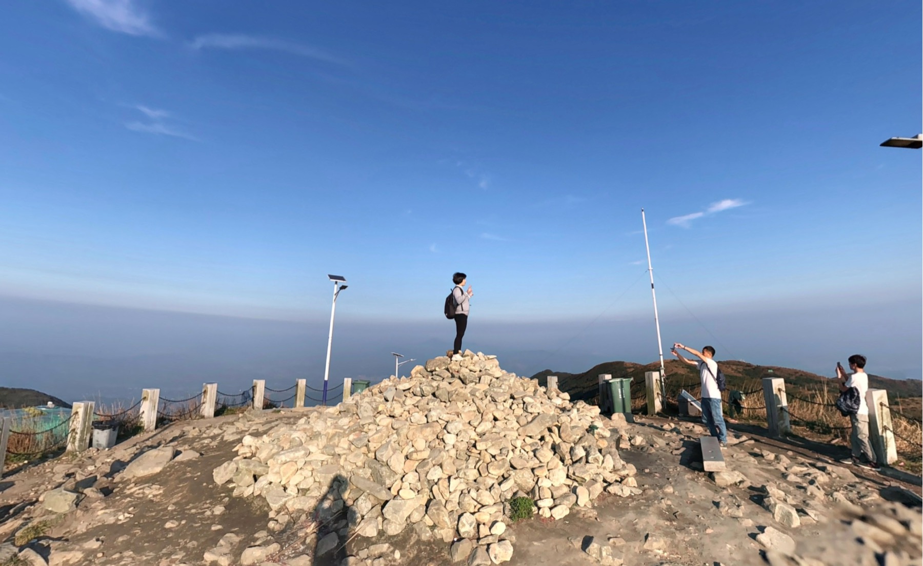
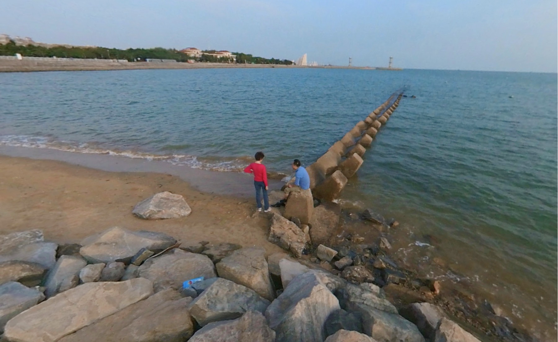
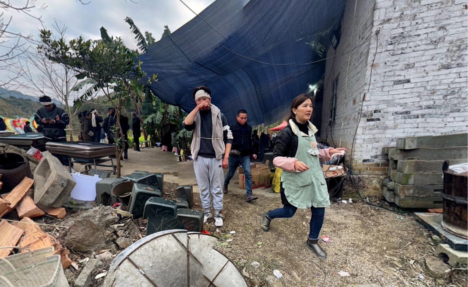
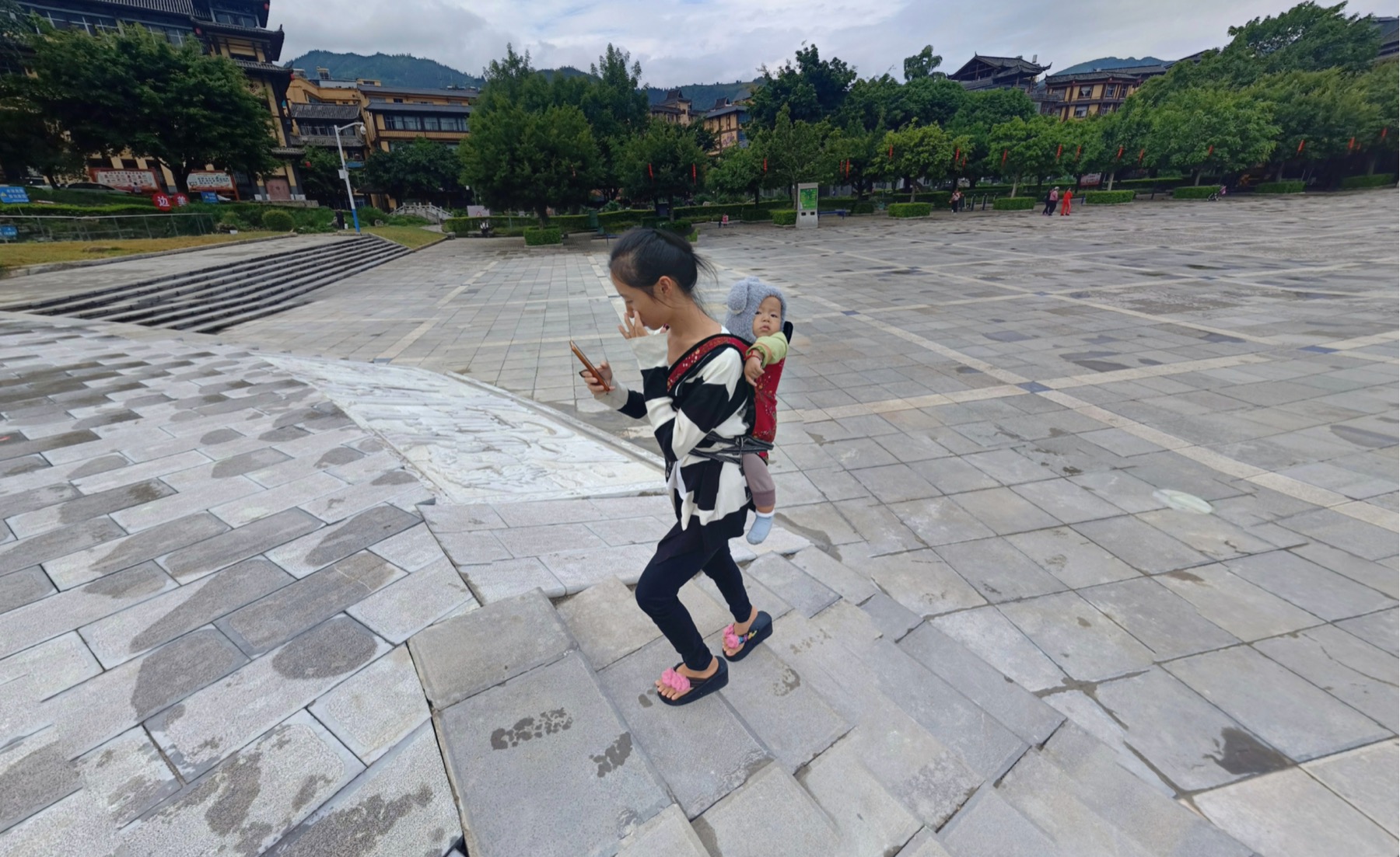
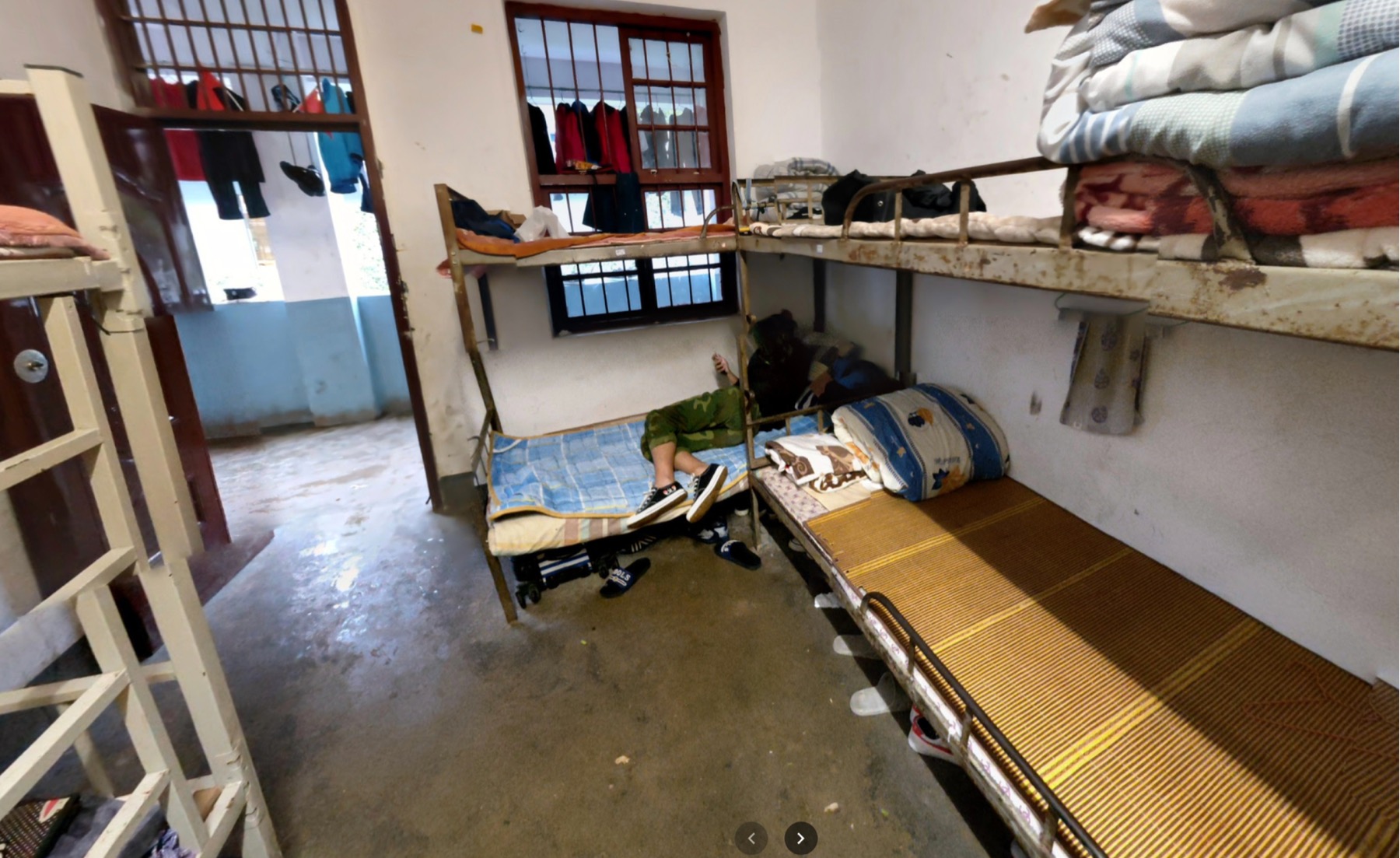
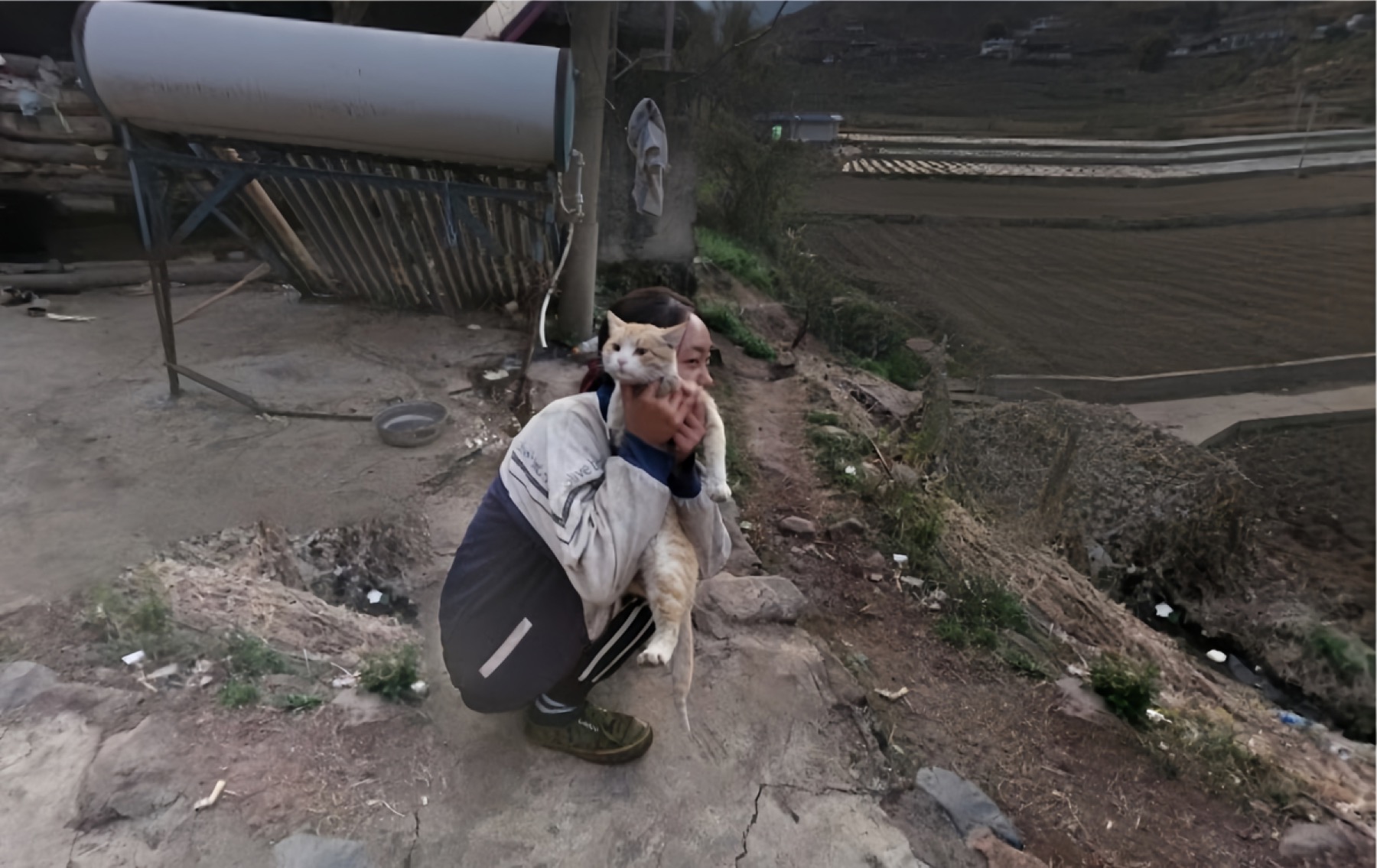
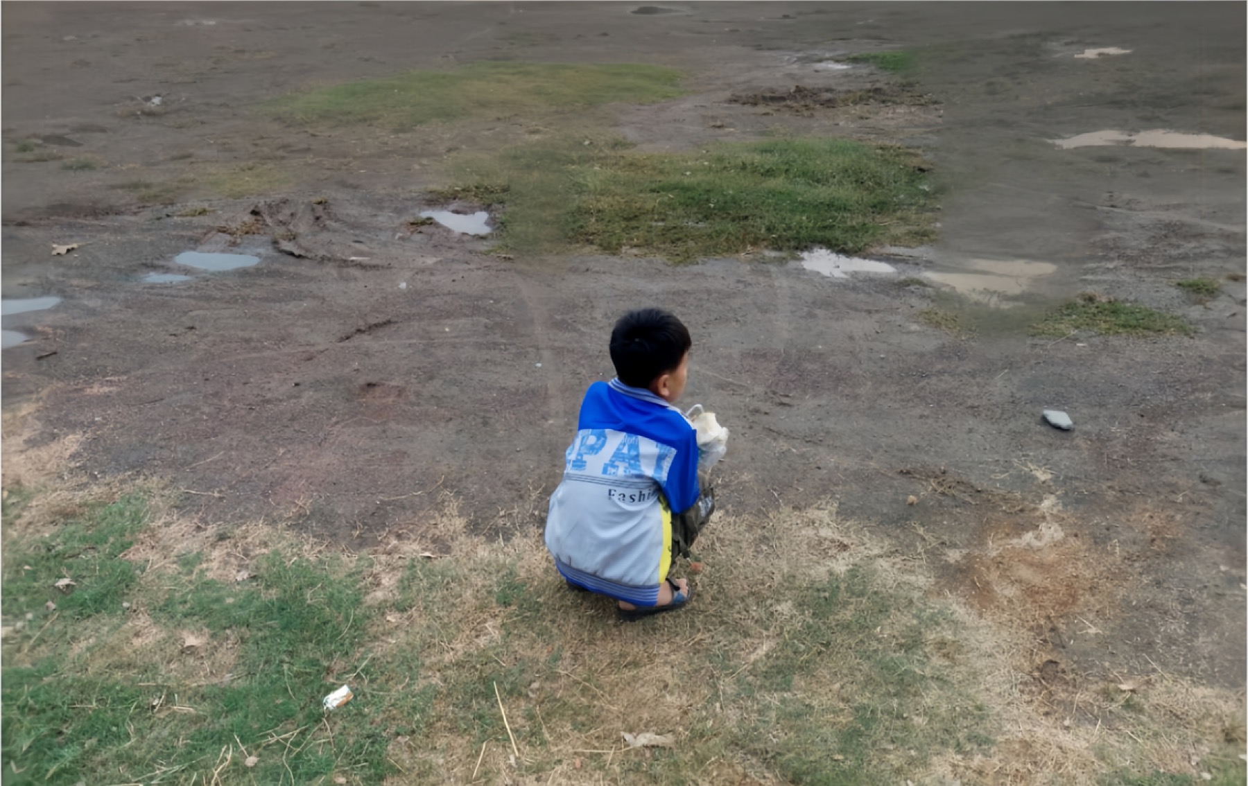
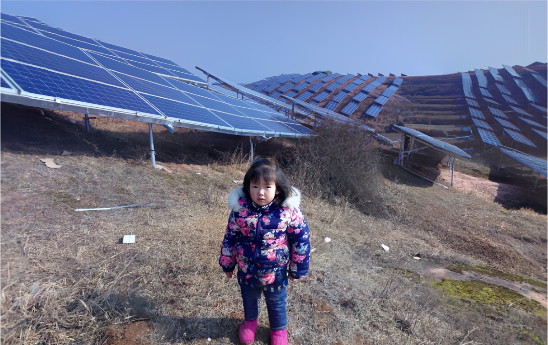
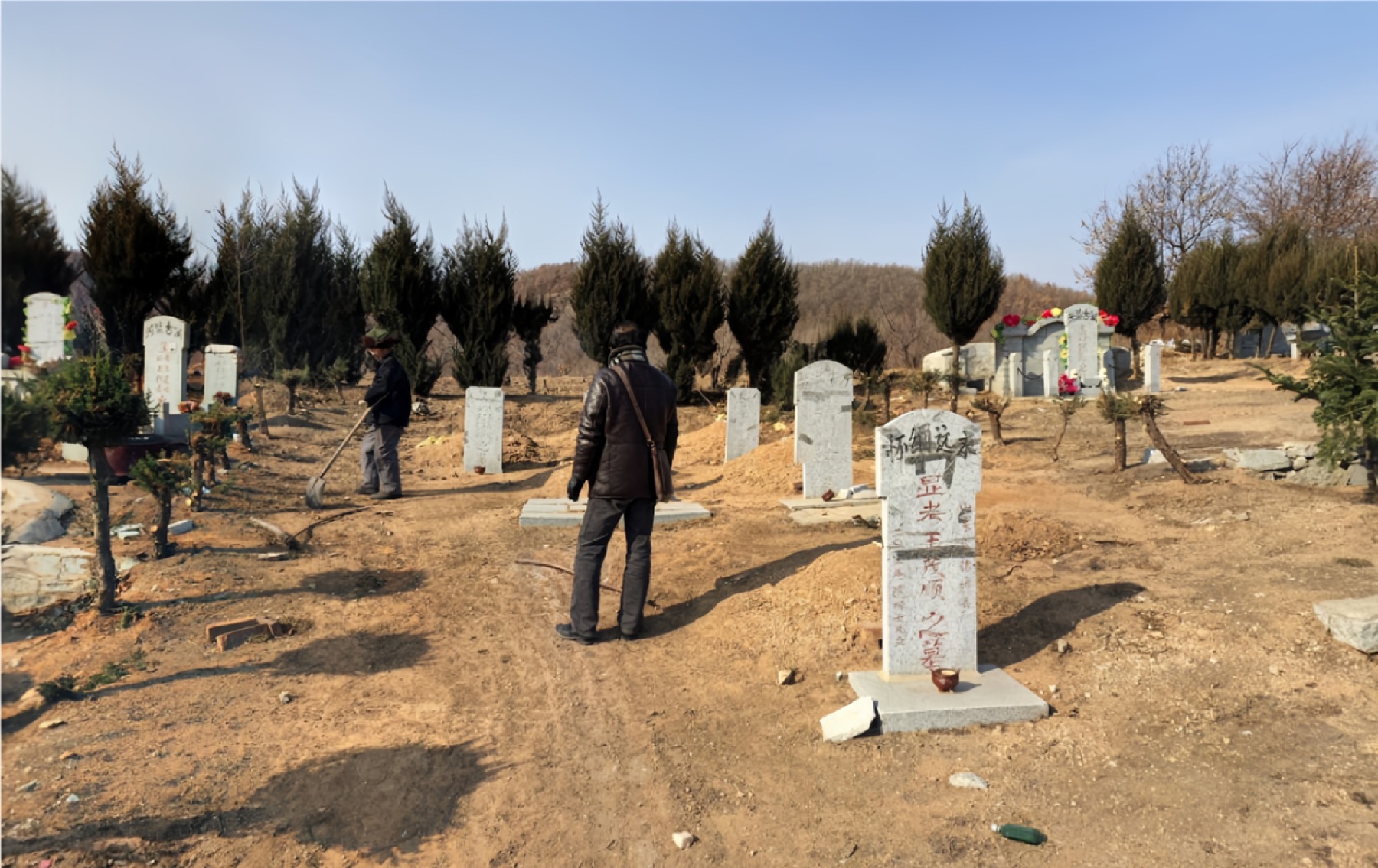
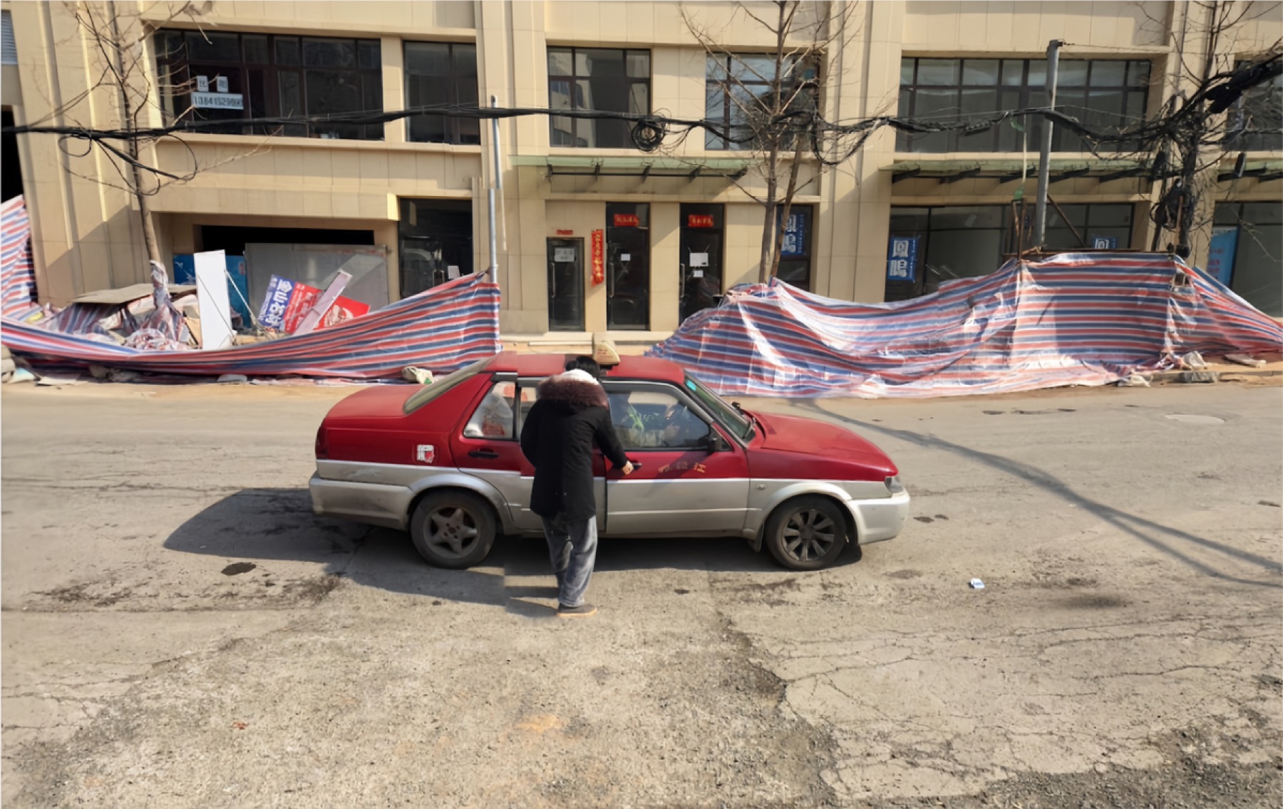
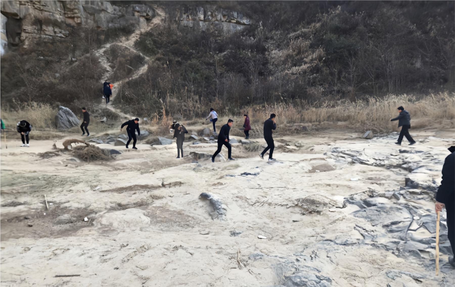
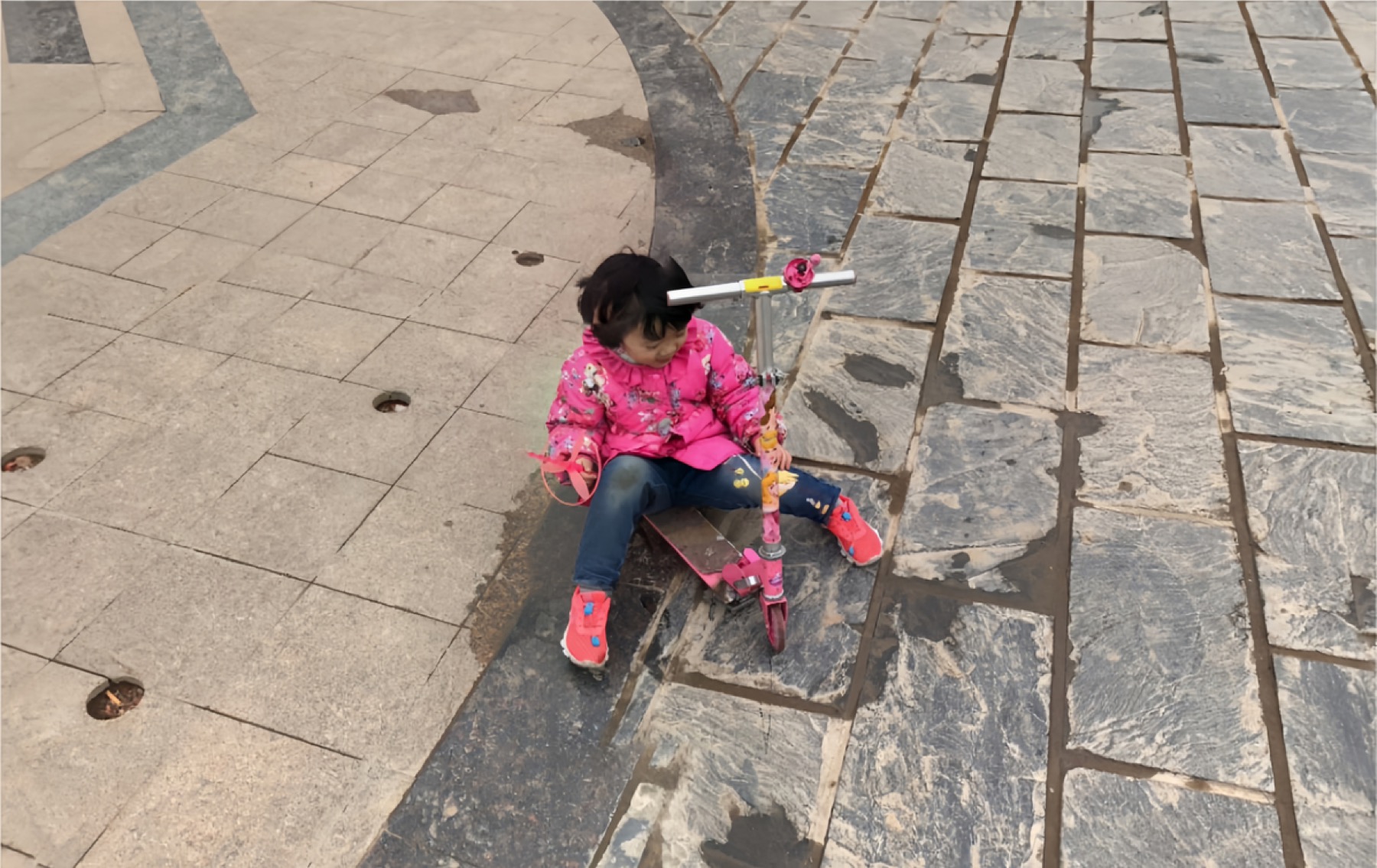
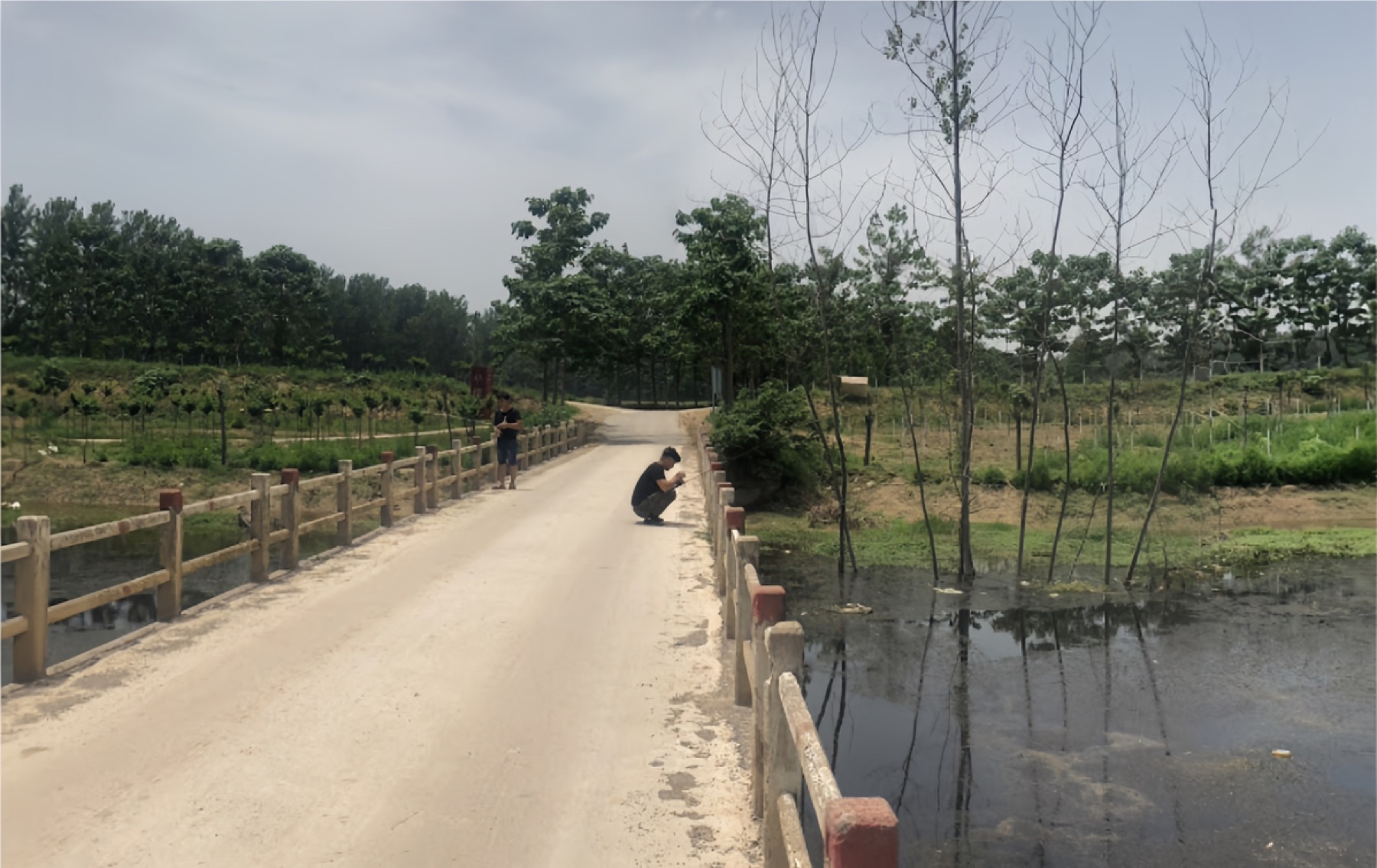
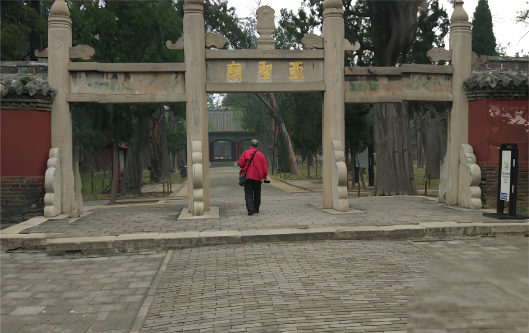
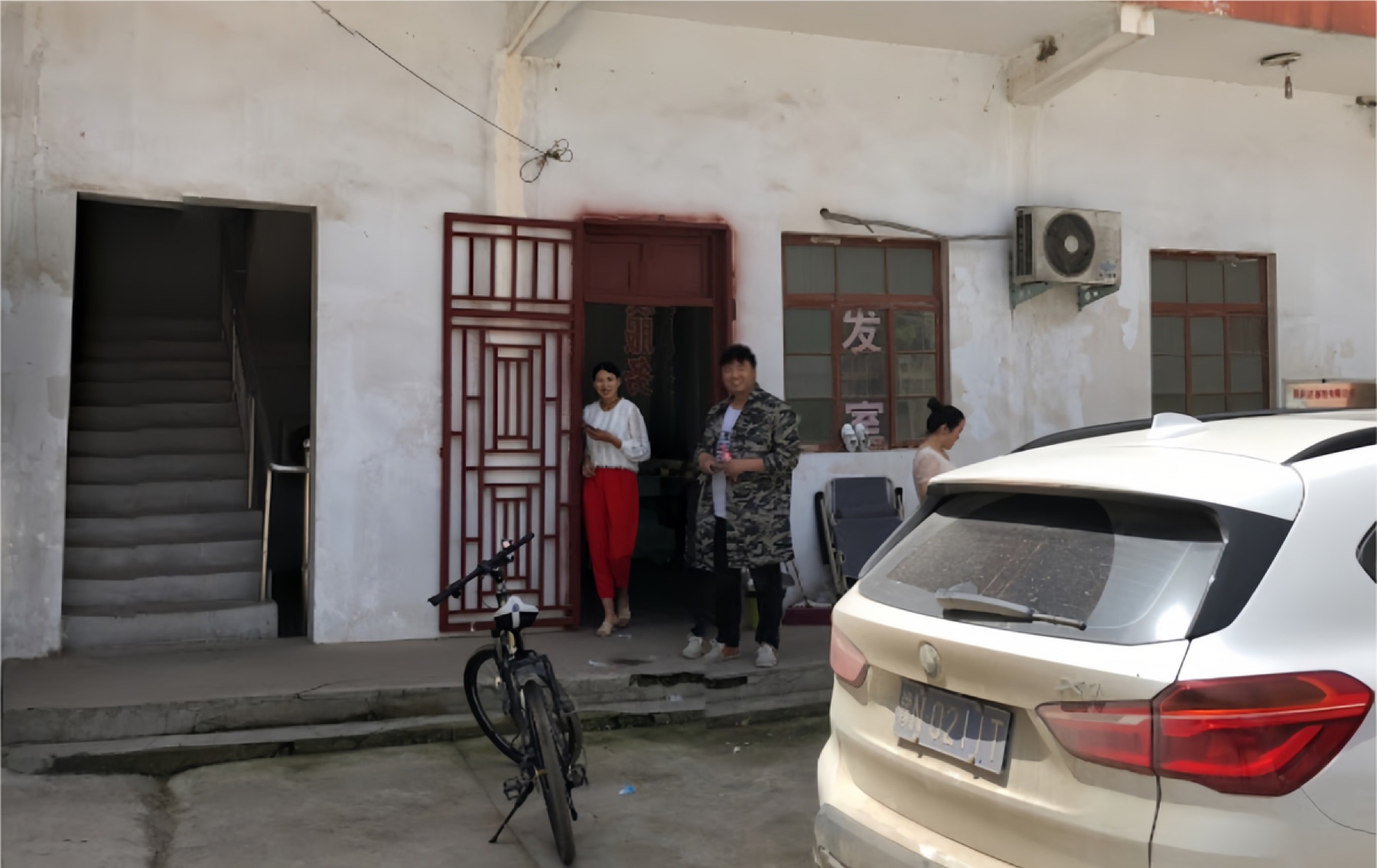
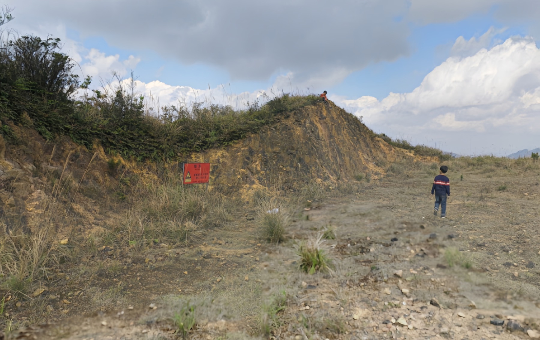
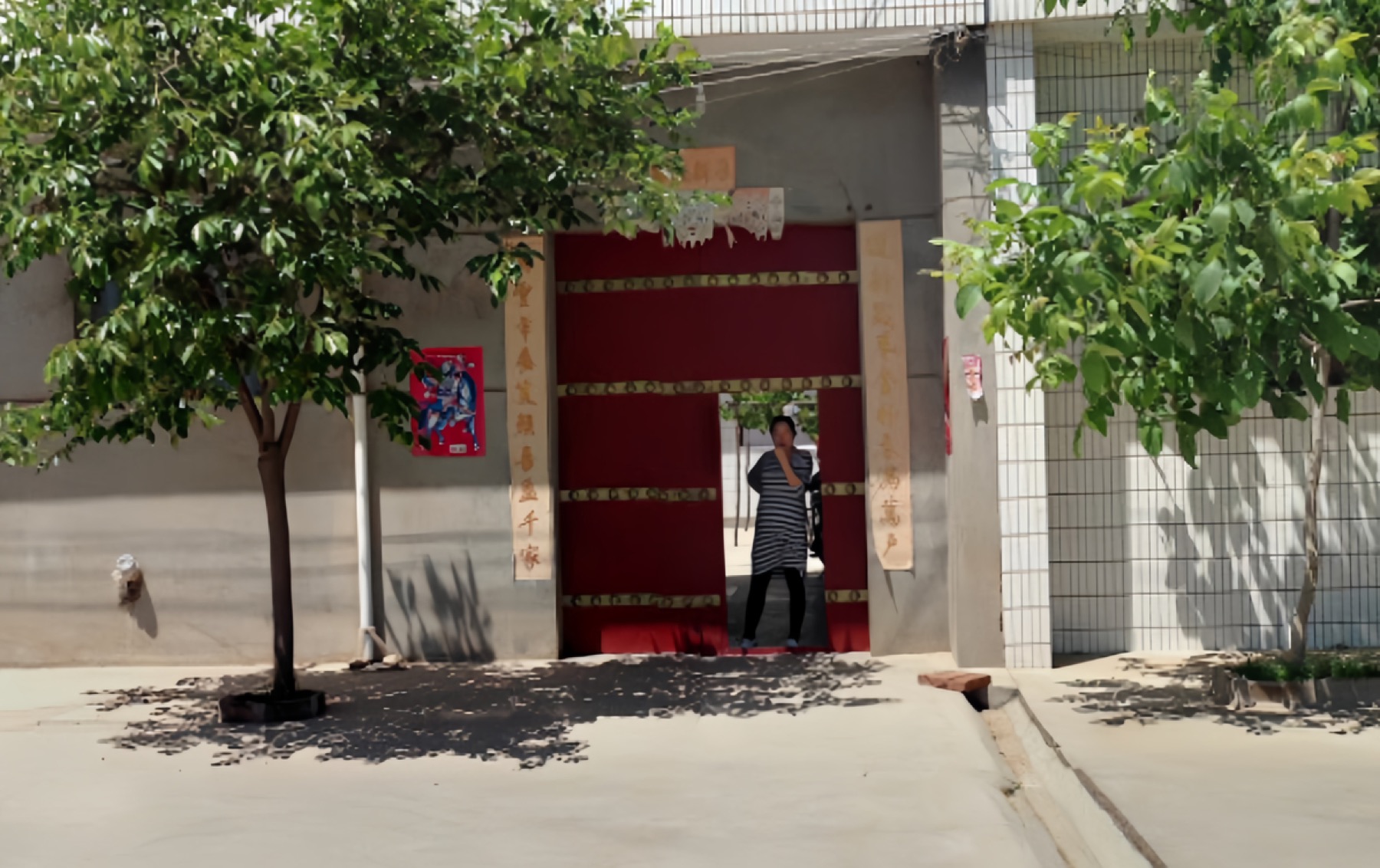
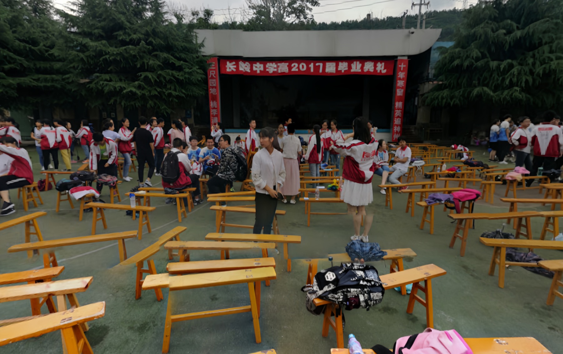
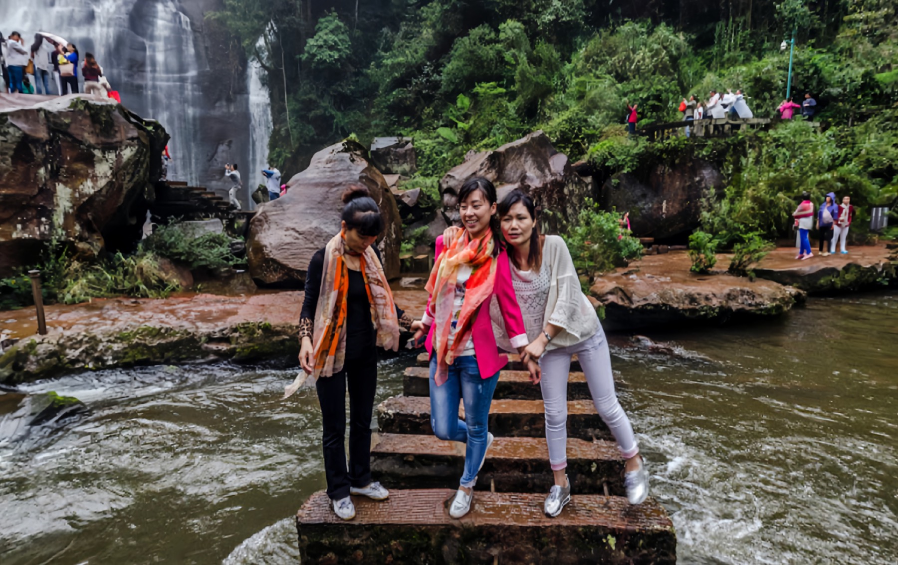
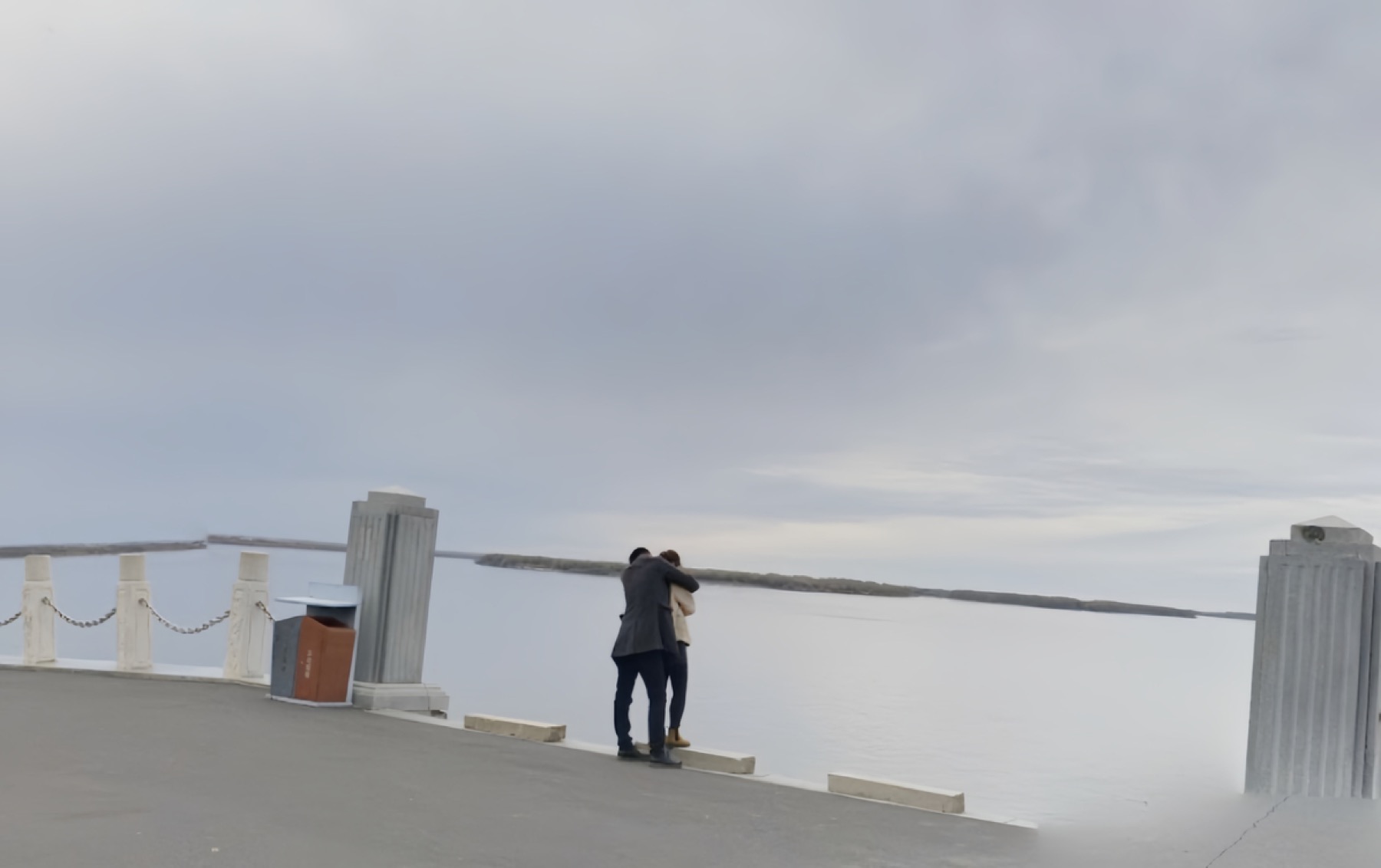
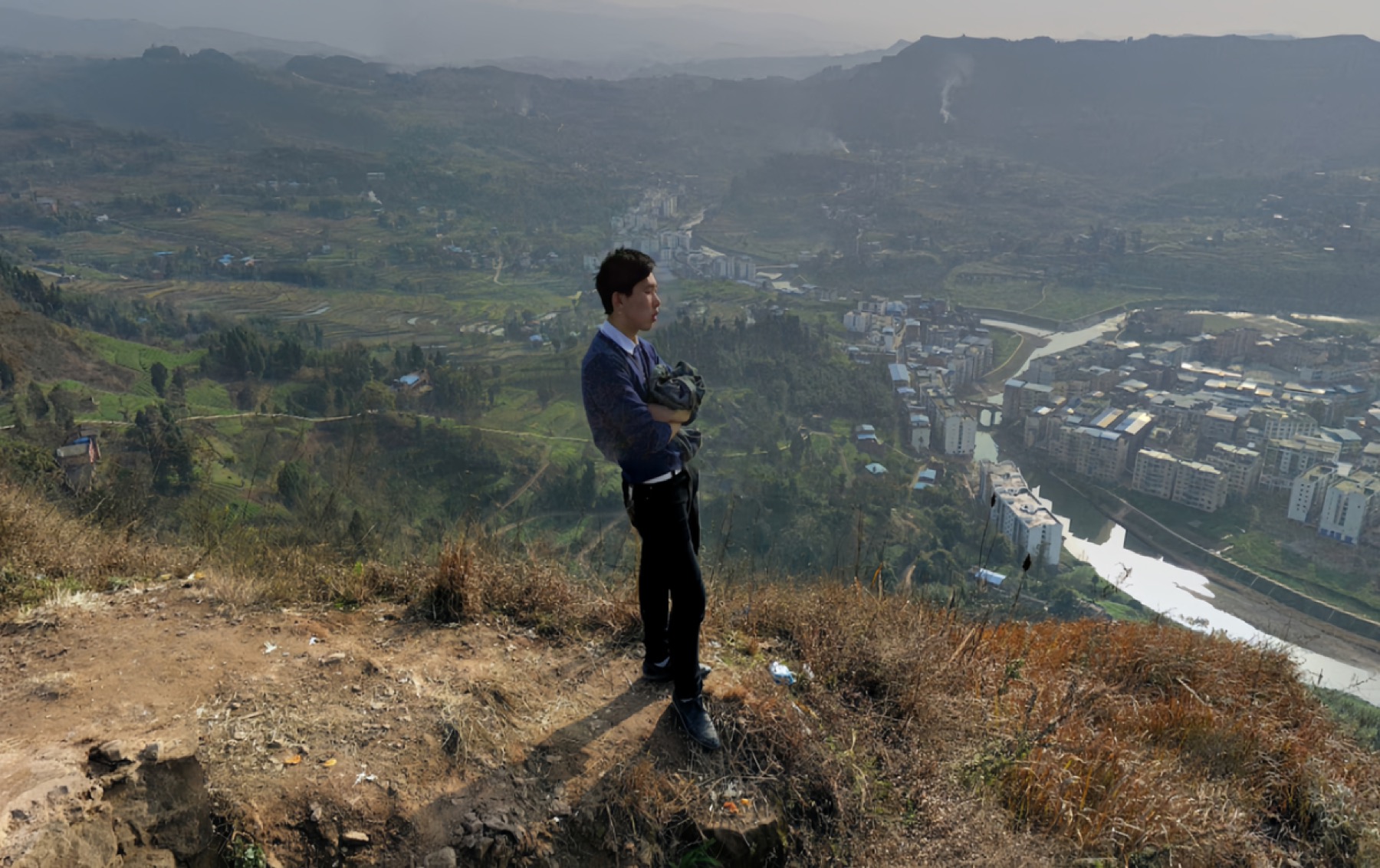
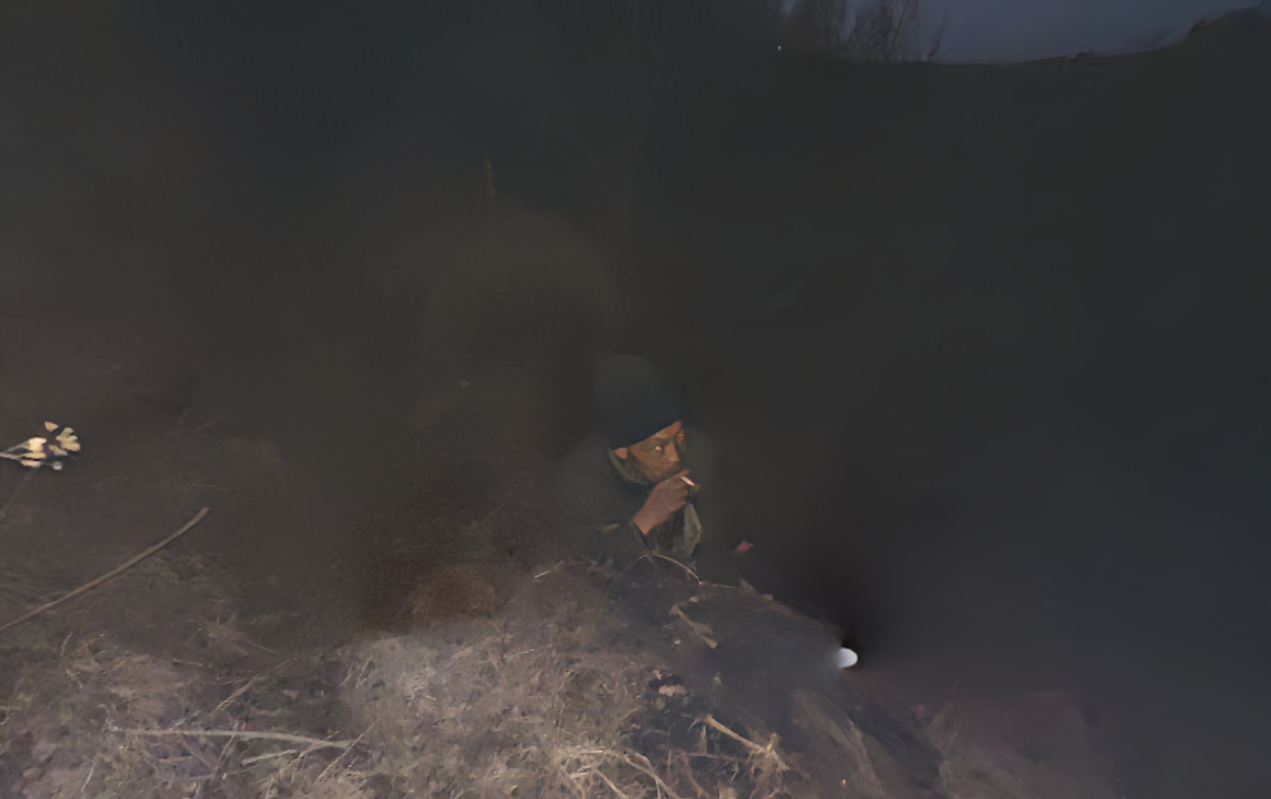
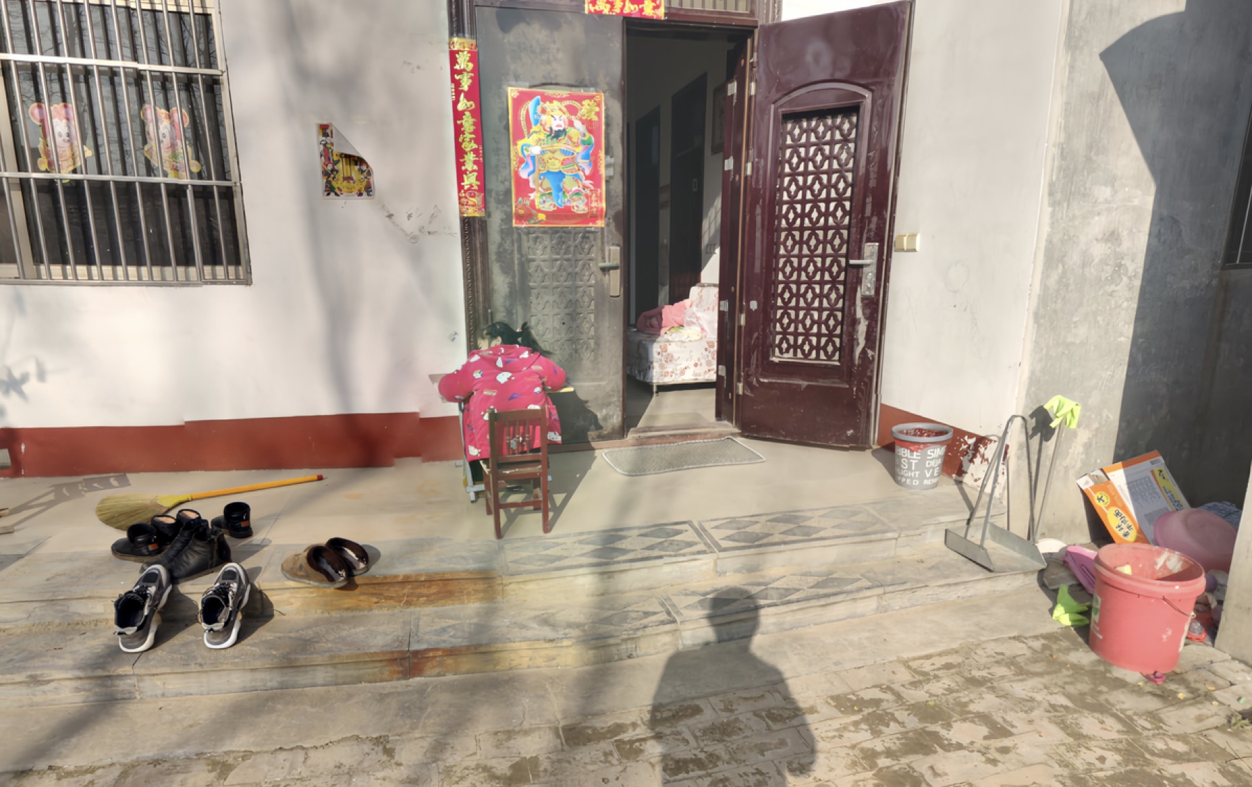
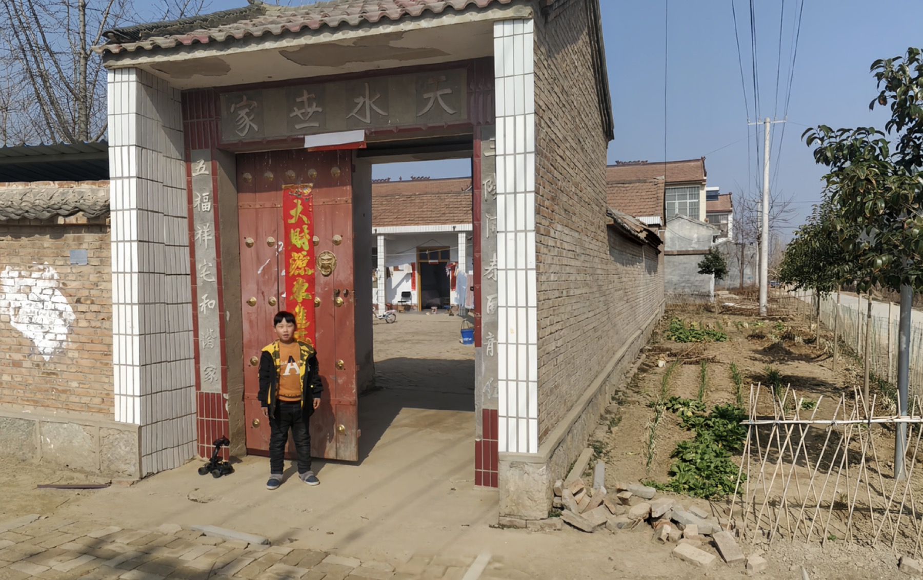
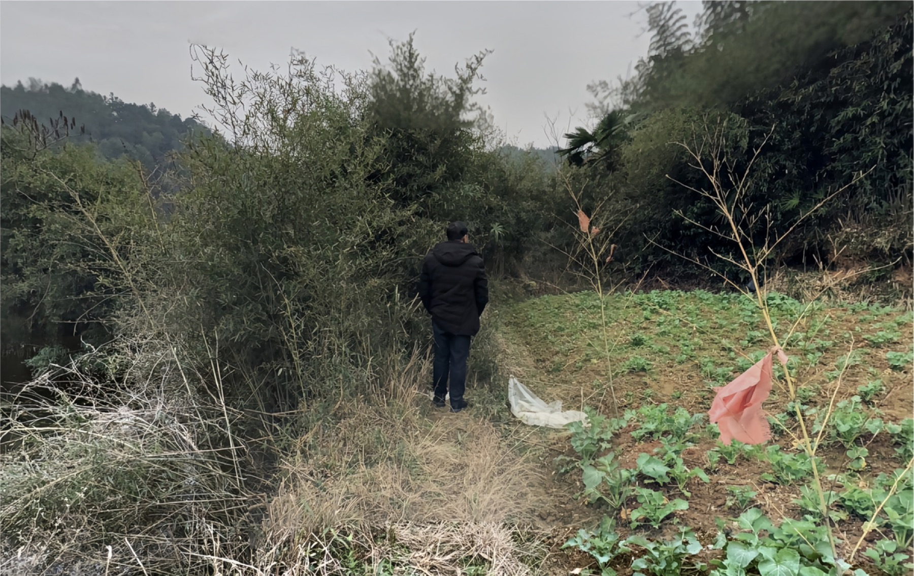
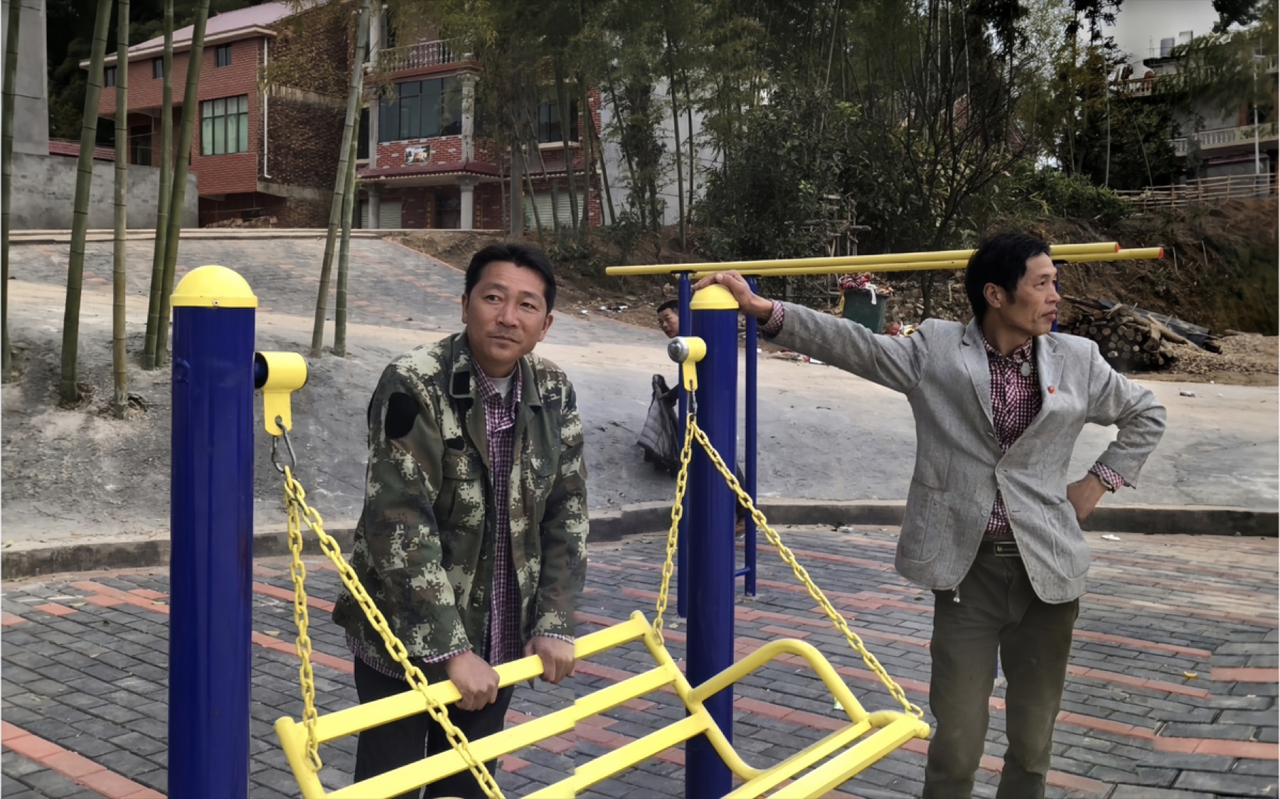
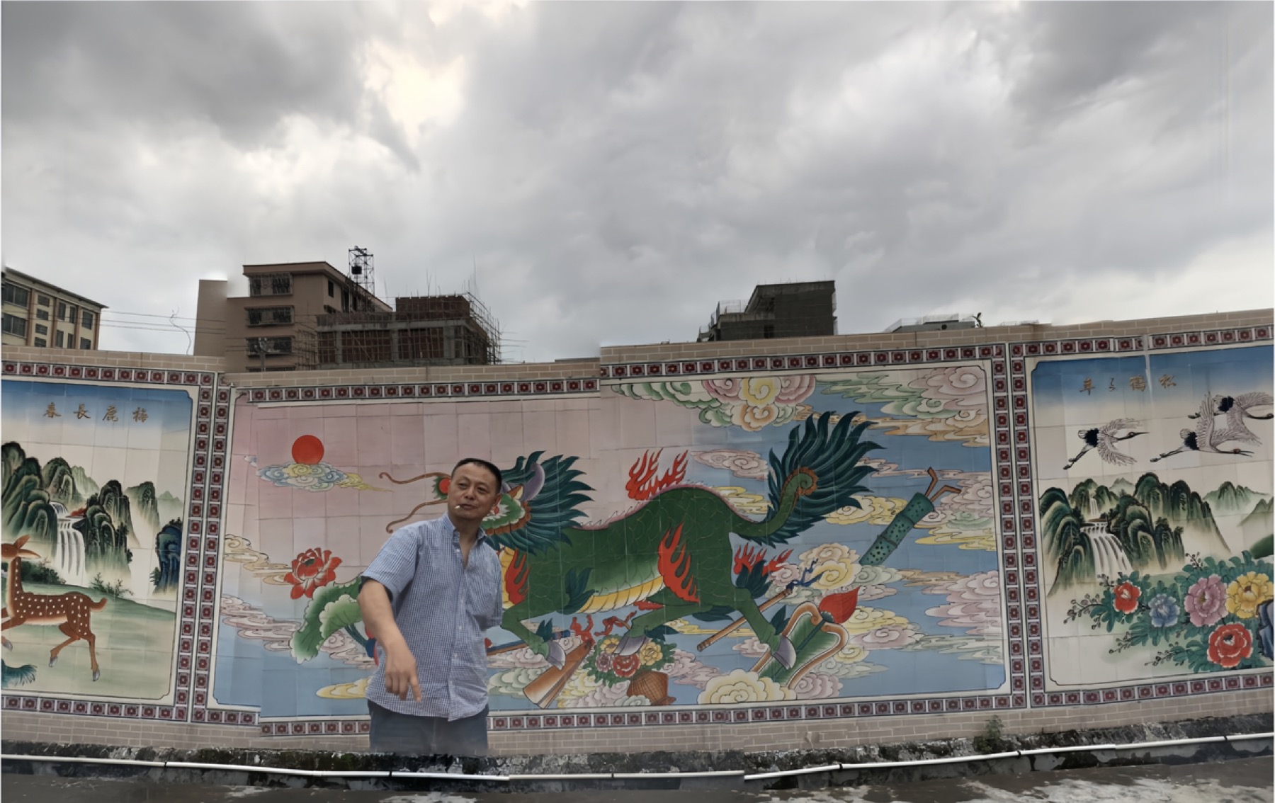
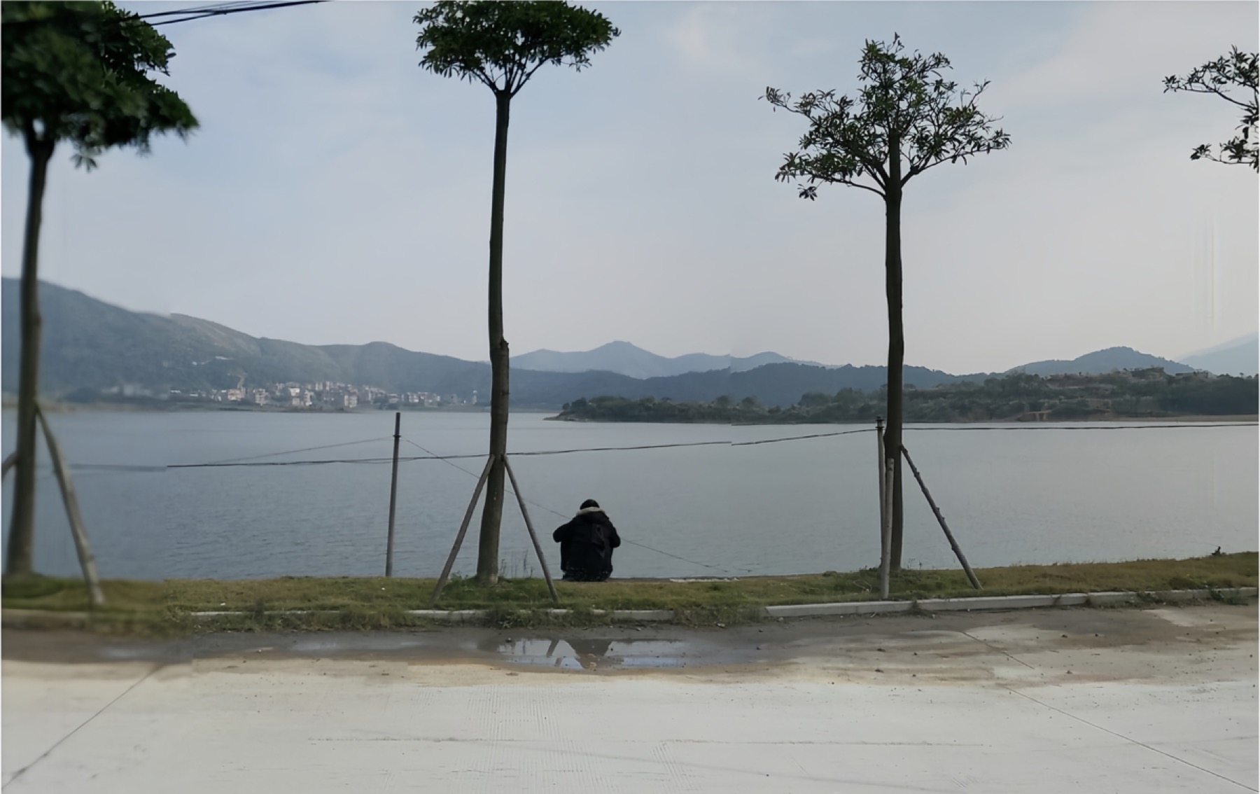
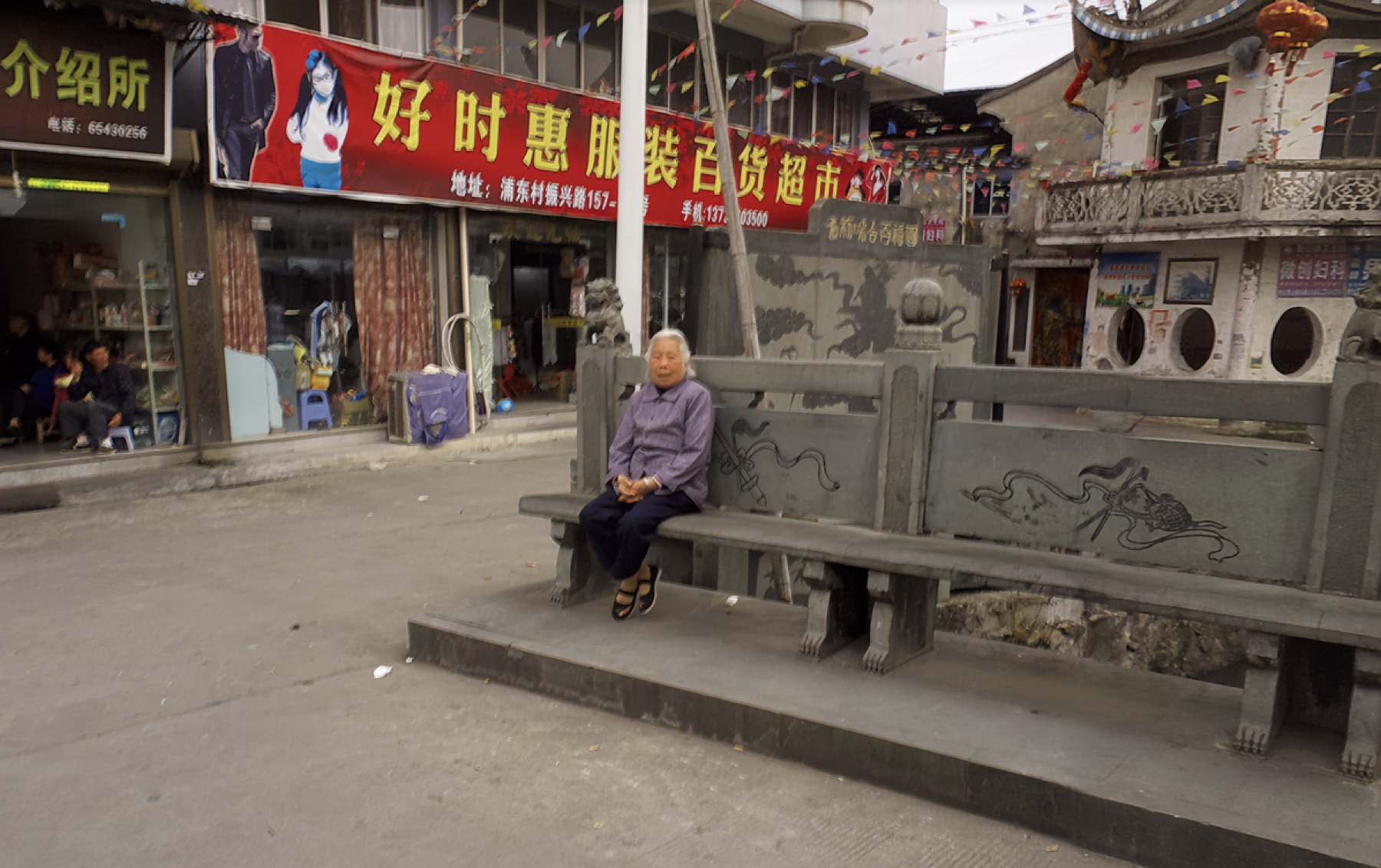
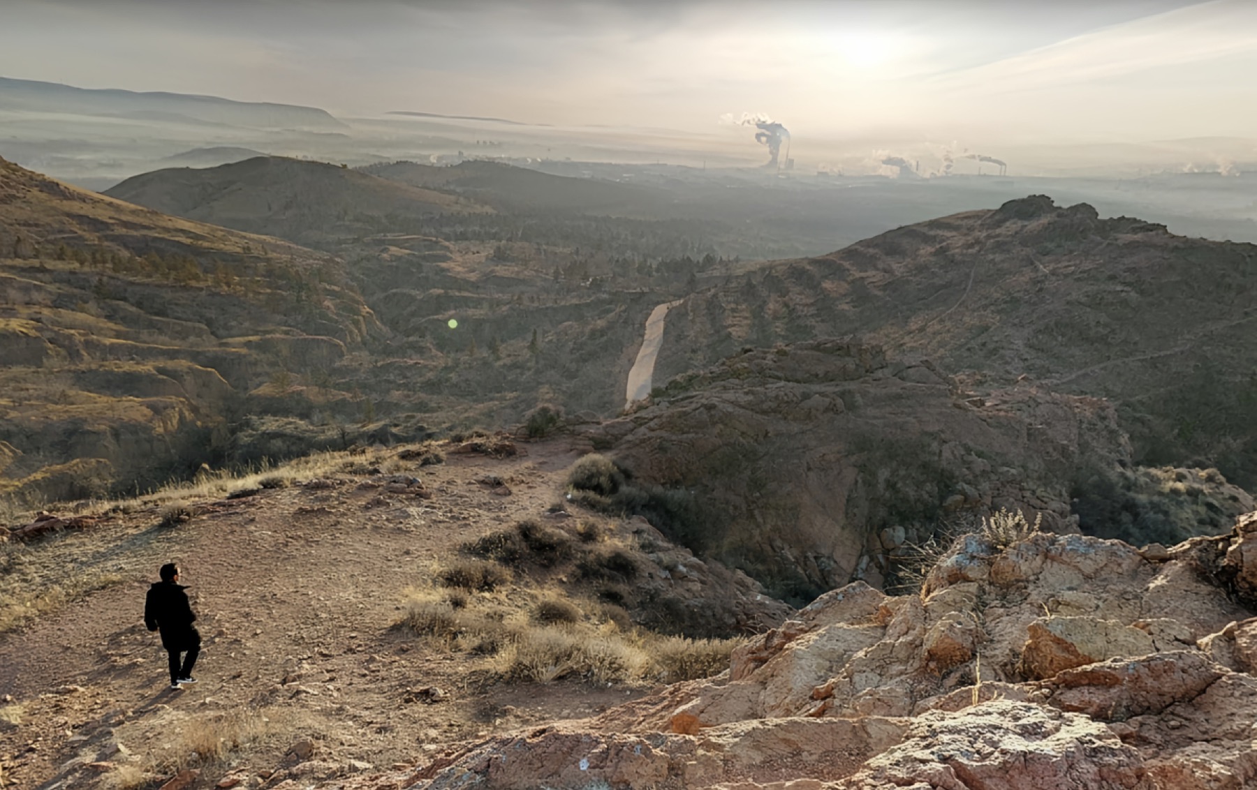
Chinese People in Google Street View is based on images found in Google Street View across China. These scenes were not all produced through a standardised official mapping process. A significant number were uploaded by users, which allowed many places beyond regular roads and vehicle routes to be recorded: fields, village lanes, temples, peri-urban zones, and other everyday spaces with little conventional touristic value.
From these dispersed street-view images, I extract figures, scenes, and details, then reorganise them into a broader image of China. The people in these pictures are often unaware that they have entered a global mapping system. They stand in front of houses, walk along rural paths, remain beside temples, or simply pass by the camera by chance. It is precisely these unintentional appearances that transform street view from a tool of geographic information into an informal record of everyday life.
Unlike photojournalism or documentary photography, street-view imagery usually lacks a clear authorial intention or central event. It is made for navigation, location, and spatial recognition, yet it inadvertently preserves how ordinary people inhabit the world. By cropping and rearranging these images, I try to assemble a more layered and complex picture of China from a vast and fragmented digital archive.
The work considers how digital mapping records reality, and how people and places are incidentally absorbed into that system. What originally appears as background information becomes, through renewed attention, an important clue to understanding society, space, and everyday experience.